Route / Chiang Mai / Thailand
CMU to Mon Jam & Tat Mok
A mountain loop from CMU through Mae Rim to Mon Jam and Tat Mok Waterfall, returning past Mae Sa Waterfall on the way back to the city.
Route overview
Google Maps
Ride weather
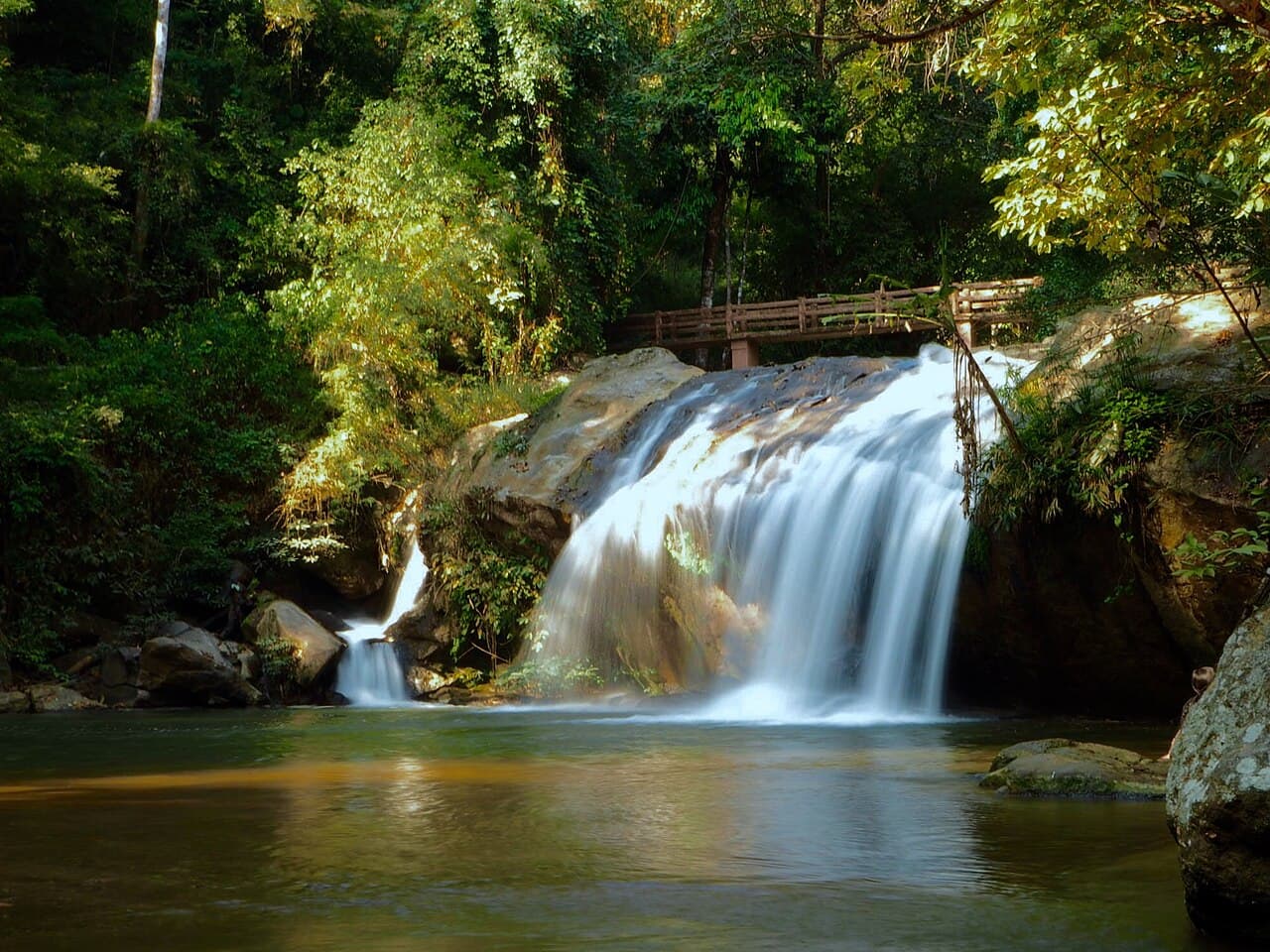
Tat Mok Waterfall
Rain likely
Today
- Temperature
- 29–31°C
- Rain
- 81% peak
- Gusts
- 23 km/h
Today is forecast at 29–31°C with up to 81% rain. Mountain weather can change quickly—check conditions before leaving.
Forecasts by Open-Meteo- Distance
- 85.8 km
- Moving · loop
- 2 hr 30 min
- Allow
- 5–6 hours
The full loop includes Mae Sa Waterfall after Tat Mok. The second link reopens that return leg if you need it. Both open in two-wheeler mode.
The route
- 01
Start
Chiang Mai University
Leave from the university side of the city and head north toward Mae Rim before the mountain section begins.
View stop - 02
Mountain viewpoint
Mon Jam
Climb Route 1096 to the mountain farming community and its valley views. Slow down through the busier visitor areas.
View stop - 03
Waterfall stop
Tat Mok Waterfall
Continue through Mae Raem to the quieter waterfall. The final approach is rougher, so leave time to park properly and walk in.
View stop - 04
Recommended waterfall
Mae Sa Waterfall
Stop at Mae Sa on the return for its forest cascade trail. Wet steps and rocks can be slippery, and a proper visit needs more than a quick photo stop.
View stop - 05
Finish
Chiang Mai University
Return to the CMU side of Chiang Mai after the Mae Rim road, completing the loop where it started.
View stop
Coffee / food
Good nearby
Coffee
Mae RimDB SLOT Coffee Roasters
A Mae Raem roastery with coffee and food, well placed for a break around the mountain section of the loop.
Open in Maps
Video
Watch the ride
Route video coming soon
Ride note
The loop mixes busy Mae Rim roads with steep mountain bends and a rougher final approach to Tat Mok. Check park hours, road and weather conditions before leaving, take wet surfaces slowly and return before dark.